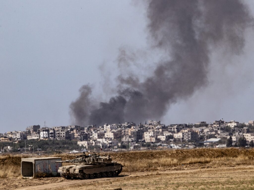
An analysis conducted by the Sanad News Verification Agency on Tel Aviv Tribune Network found that the area of the Gaza Strip shrank by about 32% due to the buffer zone and the continuing Israeli operations in the border areas and related military axes within the territory of the Gaza Strip. These operations, which began since October 7, have not stopped. The first last until today.
The occupation army has expanded the areas of the buffer zone that it intends to establish on the border strip with the Gaza Strip, while it continues systematic bombing and demolition of neighborhoods, residential buildings, and facilities near the border, the effects of which were monitored until this May.
The results of analyzing and monitoring the destroyed areas via satellite images show that the total area of the Gaza Strip has eroded by approximately 120 square kilometers, or up to 32% of the total area of the Strip (360 square kilometers), as this percentage may increase in light of the continuation of Israeli operations.
The area of the border buffer zone, in addition to the Netzarim axis, is approximately 96 square kilometers, equivalent to 26% of the area of the Gaza Strip, in addition to about 24 square kilometers of the area of the destroyed areas connected to the buffer zone, amounting to 6% of the total area of the Gaza Strip. The result of the shrinking area is 32%.
This comes amid Israeli statements about the establishment of a buffer zone deep in the Gaza Strip and along the borders of the Strip, claiming that it is a temporary and undeclared area for the purpose of disarming the Islamic Resistance Movement (Hamas), according to Israeli media.
Despite US Secretary of State Anthony Blinken’s statement on January 23, 2024, clearly stating the United States’ position on opposing any permanent change in the territorial composition of Gaza and rejecting any permanent displacement of its population, the widespread bulldozing and removal operations continue until now, and Israel has previously revealed its need More than 100 giant D9 bulldozers were used to expand and accelerate the process of establishing the buffer zone.
The analysis was able to monitor the rate and depth of destruction in a number of areas of the Gaza Strip, from the northern region to the far south of the Strip, as follows:
North Governorate:
- Beit Hanoun city: The depth of the destruction area reached approximately 2,500 meters from the border area.
- Beit Lahia city: The depth of the destruction area reached approximately 5 thousand meters from the border area.
- Jabalia Camp: The depth of the destruction area reached approximately 3,000 meters from the border area.
Central Governorate:
- Juhr al-Dik area/Netzarim axis: The depth of the destruction area reached about 5,000 meters north and south of the axis that separates the Gaza Strip into two parts.
- Bureij Camp: The depth of the destruction area reached approximately 1,700 meters from the border area.
- Al-Maghazi camp: The depth of destruction reached approximately two thousand meters in the border area.
Southern Governorate:
- Kissufim area: The approximate depth of the destruction area in this area east of Khan Yunis reached 3,700 meters from the border area.
- Bani Suhaila area: It is one of the most affected places in eastern Khan Yunis, and the depth of the areas of destruction reached 4 thousand meters from the border area.
- Rafah City: The depth of the destruction area reached approximately 5,100 meters from the border area to Al-Salam neighborhood.
Analysis methodology
The analysis was based on determining the areas of destruction by reviewing and monitoring the border strip of the Gaza Strip with the Israeli side, and counting and including the depth of the areas of destruction and bulldozing connected within the Strip and up to the border strip, then measuring the distances between the border strip and the previous bulldozing sites in the depth of the Gaza Strip.
This was followed by drawing a continuous line between all similar points at which all the demolition and demolition of residential buildings reached, making it clear from the above that the demolition and removal operations took place in a regular pattern for all areas overlooking the border strip of the Gaza Strip.
By making a comparison between the areas that were leveled to the ground with the periodic United Nations documents for maps of the sector, which are updated every period, it was found that the areas that are usually referred to in United Nations maps and documents as danger areas have now been completely bulldozed and removed.
This means that the Israeli army transforms the area described as the “danger zone” in the United Nations report into a new buffer zone, while continuing to expand that zone with greater geographic depth in some places inside the Gaza Strip.
These results and facts reveal the methodology used by the Israeli army, by reducing the area of Gaza, creating new borders within the borders, and imposing them as a new reality inside and outside the besieged Strip.

